
Compass navigation
Home Nav. course Sailing Greece Turkish Coasts Yacht charter Gulets ![]()
![]()
![]()
![]()
![]()
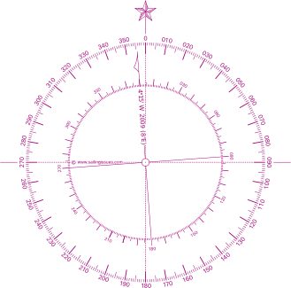
Marine compass
In China compasses have been in use since the Han dynasty (2nd century BCE to 2nd century CE) when they were referred to as “south-pointers”. However at first these magnets were only used for geomancy much like in the art of Feng Shui.
Eventually, during the Sung dynasty (1000 CE) many trading ships were then able to sail as far as Saudi Arabia using compasses for marine navigation. Between 1405 and 1433, Emperor Chu Ti's Treasure Fleet of the Dragon Throne ruled the entire South Pacific and the Indian Ocean, a territory that ranges from Korea and Japan to the Eastern coast of Africa.
در ادامه مطلب
بازگشت به صفحه اصلی وبلاگ مهندسی عمران راه و ساختمان(مهندس حسن فراهانی)
برچسبها: قصب نماهای ناوبری, Compass navigation, نقشه های دریایی, مهندس حسن فراهانی
ادامه مطلب...
